Iceland Photo Tour Waterfalls, Geysers and Coastlines June 17th, 2012
Iceland Photo Tour - Waterfalls, Geysers and Coastlines - June 17th, 2012
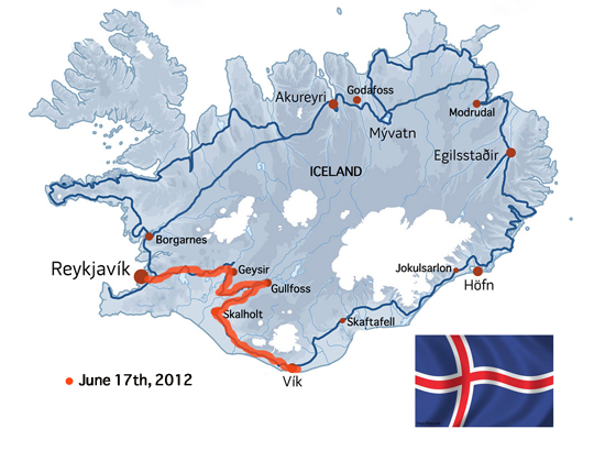
We have had a full day today, traveling from Reykjavik to the Geothermal Plant then and numerous points in between to end up this evening along the south coast near Vik.
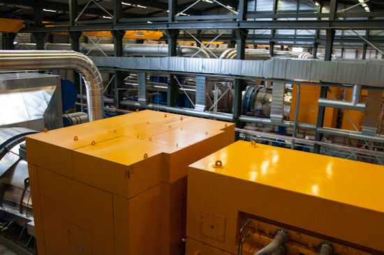
The first location this morning was the Geothermal Power Plant near Reykjavik. The power plant is an amazing accomplishment in harnessing green energy. It takes the steam from fissures deep in the ground, separates the water and steam, then uses the steam to turn the power turbines and the hot water by product is pipped into the homes in and around Reykjavik for hot water. The plant offers up interesting angles to photograph too.
After our visit to the power plant we drove slightly inland to visit one of the most power waterfalls in Iceland, Gulfoss. We hiked down to the lower levels along the brink of the falls, then hiked on the trails above the falls for a panoramic view of the gorge. The water that flows over the falls comes from Iceland’s third largest glacier.
We then visited the Bishopric of Skalhot, established in 1056. This was once the capital of Iceland, but now a small remote historic marker of years gone by. The church is set on the hillside and is beautiful.
Rain slowed us down a little at Skalhot, but as with most island rains it soon passed and we carried on to Geysir. It is believed that Geysir started spouting it’s blasts of hot water in the 13th century. It blows it’s steam every four to five minutes.
We then visited the water falls named Gulfoss, which means Golden Falls, and is located in the canyon of Hvita river. It is Iceland’s version of our Niagara Falls. The volume of water that flows over the falls is massive and the mist today soaked you to the bone in minutes.
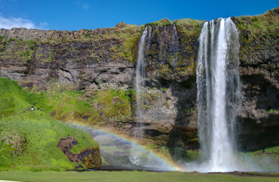
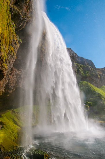
Our journey then took us back towards the coast heading to Vik. We had one more stop today and that was at the waterfalls Seljalandsfoss. The drop of the waterfalls is approximately 65 meters and if you don’t mind getting a little wet, you can walk around the back of the falls quite easily. This region was completely flooded after the volcanic eruption in 2010. There is much evidence of the wash out and ash from that major event.
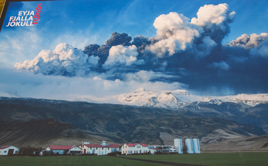
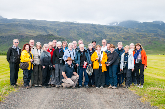
We finished our day by having a photo stop and group photo under the volcanic caldera EyjaFjallaJokull which had a major eruption on April 14, 2010.
Tonight we are staying in a beautiful small inlet near Vik and after dinner went for an evening hike looking to the coastline on one side and the glacier field on the other. Enjoy the images from today.
This fist image shows you a map of Iceland and the route we traveled to Vik today.
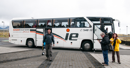
Randy, Susan and Gail getting ready to visit the Geothermal Power Plant.
Looking down to the huge turbines inside the plant
Outside the steam is pumped up from deep in the earths crust.
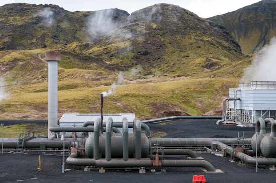
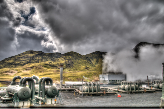
Another shot of the steam converters outside the plant. This shot was done in HDR.
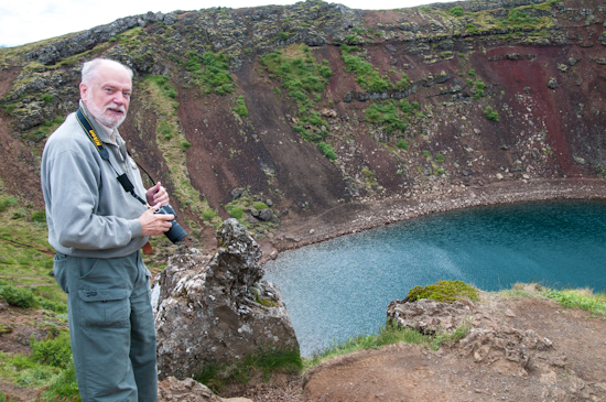
Ron Bradley stand by a long dormant volcanic caldera.
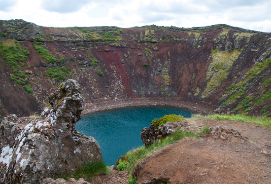
This was a beautiful stop, reminding us of Ubehebe crater in Death Valley.
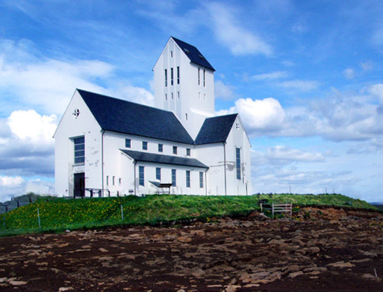
This is the small church in the Bishopric of Skalhot.
Underneath the church there is an escape tunnel that could have been used by the Bishop if the church was ever attacked.
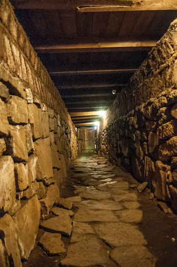
Outside the church, many interesting angles could be found.
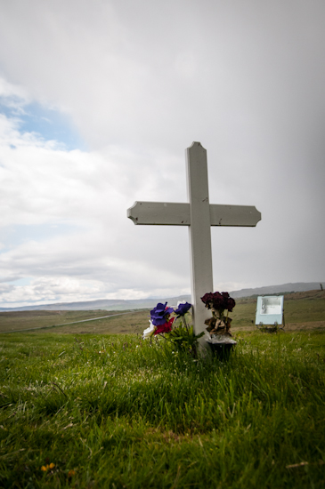
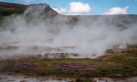
The hot steamy ground at Geysir.
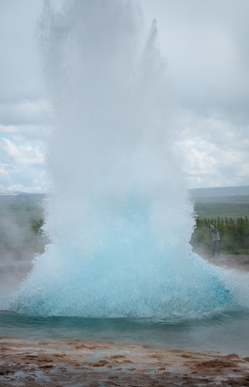
Here is the sequence of the geyser spouting it’s hot water, the blue bubble of steam and water.
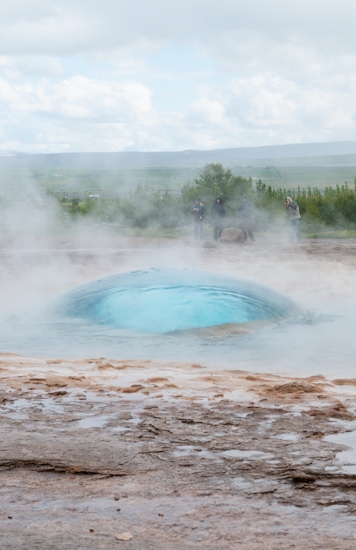
Here it goes.
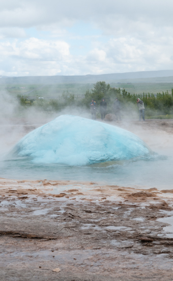
The blue colour of the water is beautiful.
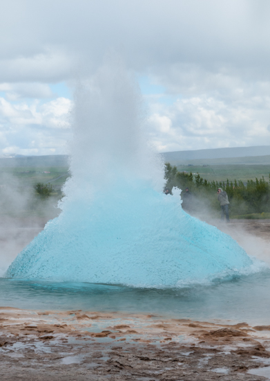
It was approximately 4 minutes between eruptions.
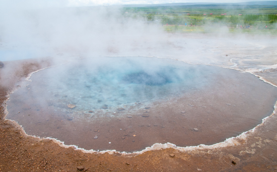
Another steam pool.
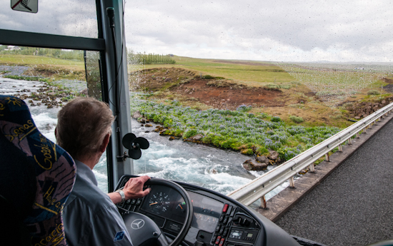
Crossing one of the many run off rivers from the glaciers.
Gulfos or Golden Waterfalls.
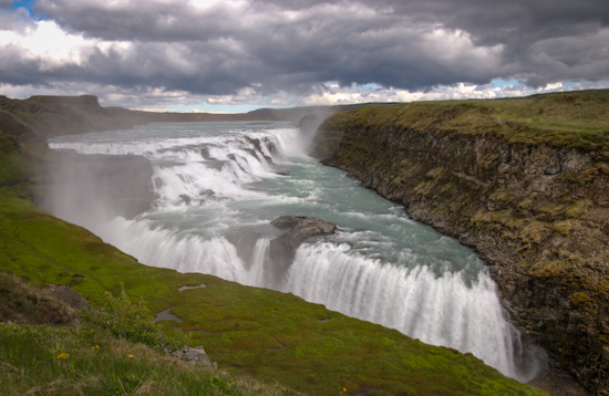
Watch your step you can get pretty close to the edge.
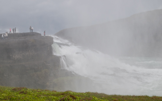
Another view of the falls.
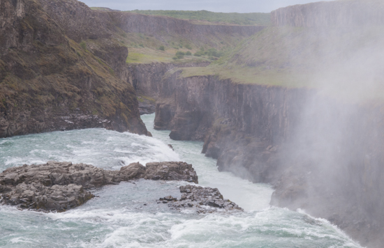
Watch your footing Joe.
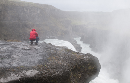
A view of Gulfos from the high hiking trail.
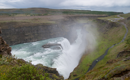
The next waterfalls we visited is Seljalandsfoss. You can see Sue in the foreground.
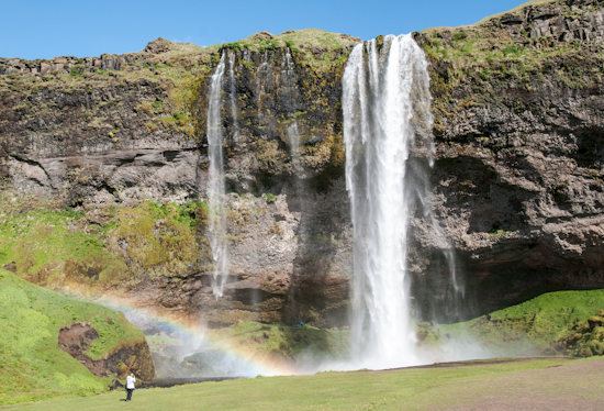
A view with a rainbow.
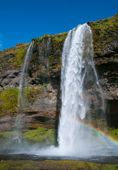
A wider shot to show you the size of the falls.
A shot from the back of the falls.
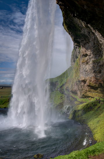
The light was perfect this afternoon, the person in the lower right gives you and idea of the height of the water falls.
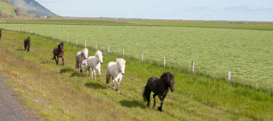
Iceland Story Horses running up the side of the highway.
A billboard showing the April 14, 2010 volcanic eruption.
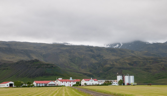
The farm and land today.
Our group shot, taken in front of the volcano.
Here it is 10:40 at night and we are out taking photos, thanks to the daylight.
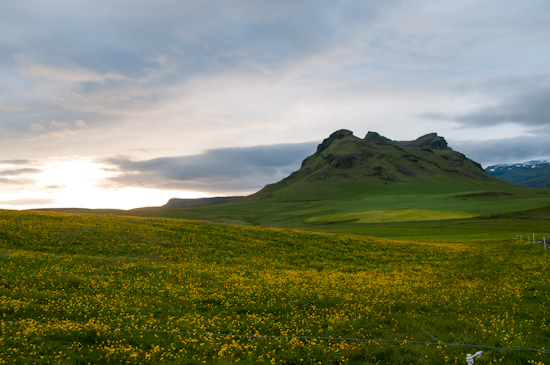
The last shot of this evening. Nancy setting up her shot.
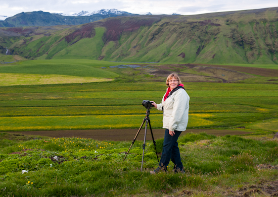
That’s it for this evening, thanks for checking out the images, and don’t forget to leave a comment.
Good night from Iceland.
Please add a comment
Miss you - Love Mom
Fred
Jerry
Thanks
Bob
It was a dairy farm located in the country side right behind our hotel.
Thanks for your comments,
James
PS Susan say's hello.
Best wishes to you and Tom.
Monique
